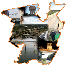
Welcome to the
Frances Baard District Municipality GIS web portal. This website has been created to share information about the Frances Baard DM GIS
with stakeholders in the region who are interested
in the spatial information assets of the District. Please browse our site
and send us your comments so that we may continually improve our information and
services. If there is any information that you believe is incorrectly displayed
on the live GIS maps please let us know
here
so that we can investigate and make
amends.
 |